Ayautau Island  —summit of largest —summit of largest | 47° 34' 15" | 74° 40' 20" |
| Black Island —south-east summit | 48° 12' 00" | 74° 32' 00" |
| Breaker Peak —summit | 48° 28' 00" | 75° 32' 30" |
| Brenton, Cape —summit | 49° 39' 00" | 75° 31' 00" |
| Bynoe Island —northern centre | 47° 58' 00" | 75° 23' 30" |
| Bynoe Island —western extremity | 47° 44' 40" | 75° 24' 20" |
| Campanilla Island —summit at south end | 47° 45' 00" | 74° 37' 10" |
| Cathedral, Mount —summit | 49° 46' 30" | 74° 43' 50" |
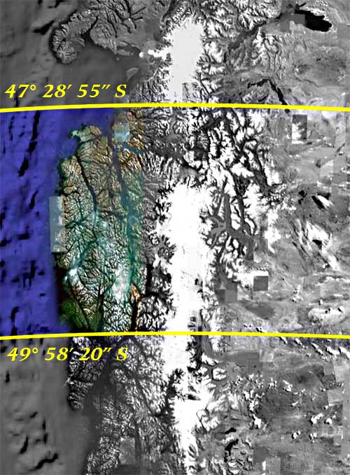
| Channel's Mouth —east side of northernmost Hazard Islet | 47° 28' 55" | 74° 24' 20" |
| Channel's Mouth —largest rock off entrance | 47° 29' 30" | 74° 29' 30" |
| Conglomerate Point —extreme | 48° 36' 15" | 75° 35' 00" |
| Corso, Mount —N.E. summit | 49° 45' 15" | 75° 32' 00" |
| Corso, Mount —south-west summit | 49° 48' 00" | 75° 34' 00" |
| Double Peak, Mount —western peak | 49° 58' 20" | 74° 41' 00" |
| Dundee Rock —summit | 48° 06' 15" | 75° 42' 00" |
| Dyer, Cape —extremity | 48° 06' 00" | 75° 34' 20" |
| Dyneley Point —extreme | 48° 50' 00" | 75° 26' 00" |
| Eyre Sound —north-east extremity | 48° 57' 00" | 73° 41' 45" |
| Falcon Inlet —Cape Wellesley—extremity | 49° 28' 30" | 73° 54' 25" |
| Falcon Inlet —south-east extremity | 49° 38' 00" | 73° 36' 30" |
| Fallos Channel —Duplicate Mount—south summit | 48° 19' 00" | 75° 14' 00" |
| Fury Cove —height east of | 49° 31' 50" | 74° 03' 00" |
| Good Harbour —Isthmus at the bottom | 47° 45' 00" | 75° 20' 20" |
| Halt Bay —middle of islet close to | 48° 54' 15" | 74° 14' 20" |
| Jervis, Mount —summit | 49° 08' 30" | 74° 11' 15" |
| Level Bay —west point—extremity | 49° 07' 45" | 74° 14' 00" |
| Middle Island —north point—extremity | 48° 27' 35" | 74° 21' 40" |
| Millar Island —south extreme | 48° 03' 20" | 74° 35' 30" |
| Millar Monument —at north extreme | 47° 55' 50" | 74° 41' 30" |
| Montague, Cape —western cliff | 49° 07' 30" | 75° 37' 00" |
| Neesham Bay —beach | 49° 53' 54" | 74° 59' 00" |
| Northernmost Islet —summit | 47° 38' 10" | 75° 14' 00" |
| Offshore Islet —centre | 49° 25' 10" | 75° 36' 00" |
| Parallel Peak —summit | 48° 45' 40" | 75° 31' 00" |
| Parallel Point —extreme | 48° 47' 45" | 75° 34' 40" |
| Picton Opening —middle of | 49° 15' 00" | 75° 23' 00" |
| Point Breakoff —extreme | 48° 26' 00" | 75° 33' 40" |
| Primero, Cape —extremity | 49° 50' 05" | 75° 35' 30" |
| San Roman, Cape —north extremity | 47° 44' 30" | 74° 52' 30" |
| Sandy Bay —east point | 49° 45' 40" | 74° 16' 45" |
| Santa Barbara, Port —Observation Point, north extreme | 48° 02' 20" | 75° 29' 20" |
| Saumarez Island —Bold Head | 49° 32' 48" | 74° 06' 15" |
| Speedwell Bay —hill at north-east point | 47° 39' 30" | 75° 10' 00" |
| Station Head —summit of | 48° 39' 00" | 74° 10' 00" |
| Wager Island —eastern point—extremity | 47° 41' 00" | 74° 55' 00" |
| Wager Wreck, Supposed position of | 47° 39' 30" | 75° 06' 30" |
| Western Rock —centre | 49° 01' 00" | 75° 48' 40" |
| White Kelp Cove —summit over west side | 48° 30' 15" | 74° 17' 10" |
| Wildcoast Head Cliff —summit | 48° 57' 30" | 75° 32' 00" |