

Place name on white background indicates Plata area.
| Place Name | Lat. South | Long. West |
Abrolhos  —Santa Barbara—E. summit —Santa Barbara—E. summit | 17° 57' 42" | 38° 41' 30" |
| Bahia —Fort San Pedro | 12° 59' 20" | 38° 30' 45" |
| Bahia —in the offing | 13° 00' 00" | 38° 20' 00" |
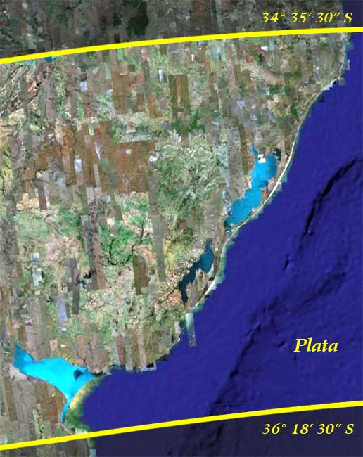
| Buenos Ayres —landing-place (mole) | 34° 35' 30" | 58° 21' 53" |
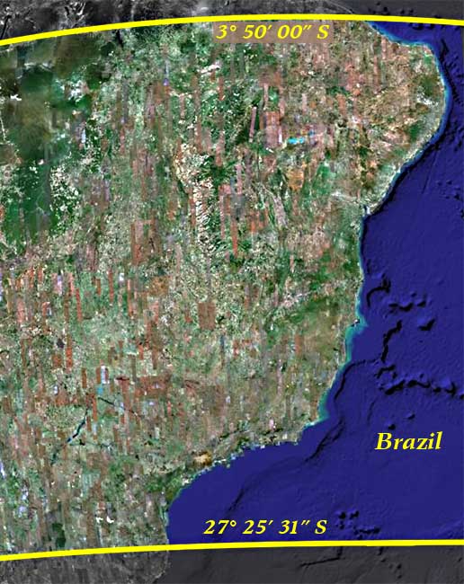
| Fernando de Noronha —Fort Concepçaõ | 03° 50' 00" | 32° 25' 00" |
| Gorriti —well at N. E. end | 34° 57' 02" | 54° 57' 35" |
| Monte Video —Rat Island [now Isla Libertad, about ¾ mile W. of FitzRoy's longitude] | 34° 53' 20" | 56° 13' 15" |
| Pernambuco —Fort Picáõ | 08° 03' 35" | 34° 51' 30" |
| Piedras Point —extremity of grassy part | 35° 26' 50" | 57° 05' 11" |
| Rio de Janeiro —Villegagnon Islet—well | 22° 54' 40" | 43° 08' 45" |
| Salado, Rio —entrance of | 35° 43' 15" | 57° 19' 15" |
| San Antonio, Cape —north extremity, above high water | 36° 18' 30" | 56° 45' 51" |
| Sanborombon, Rio —entrance of | 35° 41' 40" | 57° 18' 45" |
| Santa Catharina —Anhatomirim Islet—flag-staff | 27° 25' 31" | 48° 34' 45" |