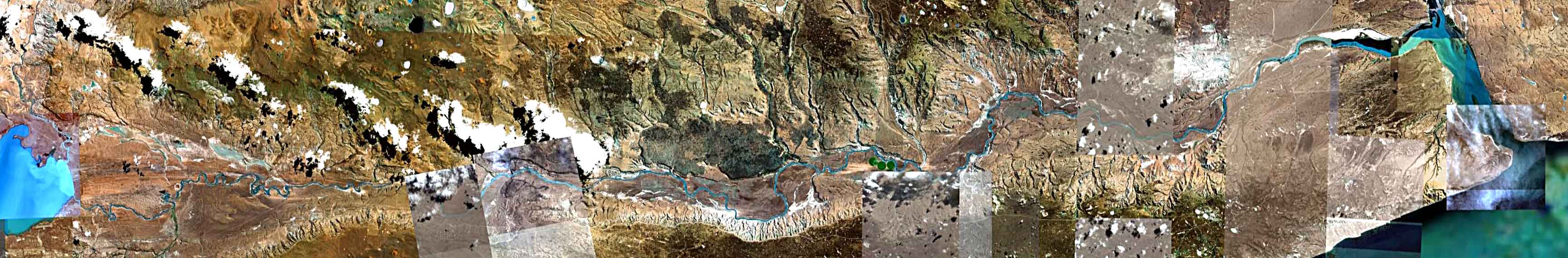

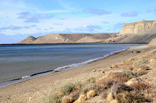


Rio Santa Cruz
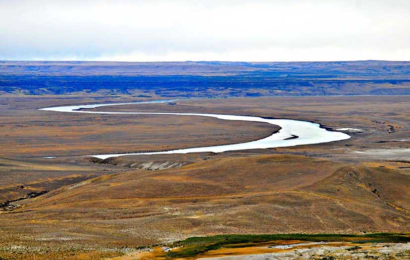
The satellite image shows the course of the river, from its source at the eastern shore of Lago Argentino, to its mouth on the Atlantic coast of Argentina, a straight-line distance of about 162 miles/261 kilometers. Each camera icon displays a close-up image of some detail along the course of the river.
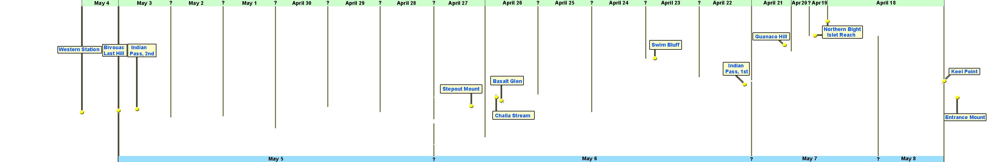
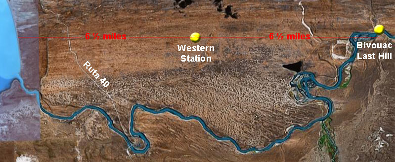
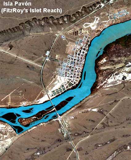
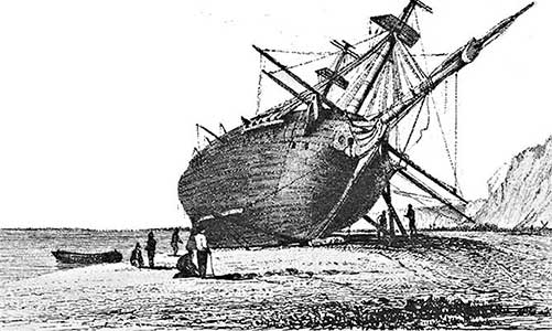
The “Western Station” is the western-most point reached on May 4 by Captain Robert FitzRoy, Charles Darwin, and members of HMS Beagle's crew on their exploration of the river, April 18 - May 8, 1834. This and other points marked by yellow circles are taken from the “Appendix” volume of FitzRoy's Narrative ….
Due to the large size of the satellite image, best results are obtained with your browser in full-screen mode (Press Function key F11).
NOTES:
- Click image anywhere to toggle dates and place names recorded by FitzRoy on/off.
- Click any date to show FitzRoy Narrative (left column) and Darwin Diary (right column) for that day.
- “?” between dates indicates approximation; neither Narrative nor Diary give sufficient information to fix location at which boat crews spent the night.
- Click any date within text window (or “Close” bottom at bottom of page) to close that window.
- Small image at bottom shows entire course of river, from Lago Argentino (left) to Atlantic Ocean (right).